
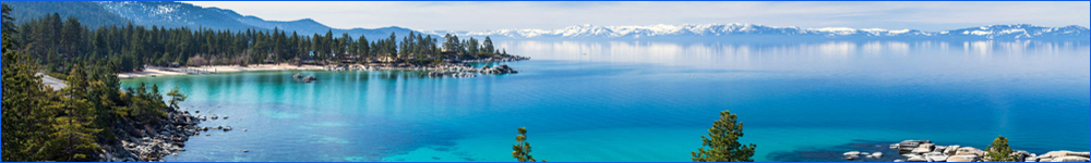
Carson City/Washoe Valley/Virginia City
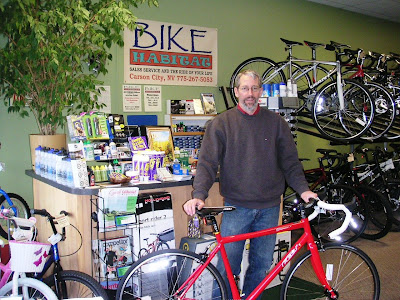
Bike Habitat Tour of Carson City
Starting at the Bike Habitat Shop, this is a nice loop of the perimeter of Carson City. Mostly rolling to flat with some very easy climbing, less than 1000 feet in 28 miles or so. Stop in and say hi to Dennis at the shop, 775 267-5053 and visit his excellent website: Bike Habitat
Route Map
Comstock Century
From Curtis Fong's BikeTheWest, the Comstock Century is no longer a supported ride but is easily done unsupported with so many locations for food, water, and restrooms along the way. The three main climbs include Spooner Summit, Mt. Rose Summit and Geiger Summit. Doing it clockwise avoids the long climb up Mt. Rose in substantial traffic with little shoulder. The loop without the spur to Genoa is the well known LeMond Loop. Never steep, this route has about 9200 feet of moderate Colorado style climbing. Don't forget to bring a camera!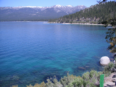
Route Map
Franktown Thursday Show and Go
This seasonal evening Show and Go ride starts at The Bike Smith 900 N Carson St in Carson City. There is parking at the shop or behind in the free City lot. The ride can be road or mountain so be sure and call Mickey or Rob for each week's ride details. The standard 20 mile road route includes about 1200 ft of climbing and heads over to Combs Canyon, Lakeview and the Franktown Loop and back to the shop. Ride pace is determined by those who show. Call or email Rob or Mickey at The Bike Smith 775 883-3210 bikesmith@sbcglobal.net for start date, times and conditions.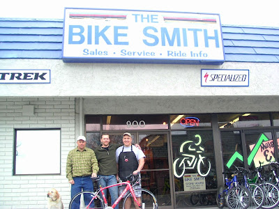
Route Map
Virginia City/Lousetown Figure 8
This can be an excellent early season ride unless there is a big snow. Starting at the Save-Mart on US 50 in Carson City, this route climbs about 3,500 ft. over 56 miles with a few steep spots and rough pavement in Six Mile Canyon. There can be heavy traffic in US 50 but there is a big shoulder. The mining history of the Comstock Lode makes this a very interesting ride into Nevada history. A shorter version is done by starting in Moundhouse instead of Carson City.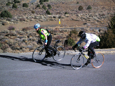
Route Map
Virginia Highlands Loops
Another version of great riding from Carson City around the Carson River Road Loop up into the Virginia Highlands including the short but steep climb up through Silver City and Gold Hill to Virginia city. The Lousetown Loop portion is best done clockwise where most of the climbing is on very low traffic Lousetown Road. The smooth descent down the truck route makes the last loop. About 50 miles and 6000 ft of climbing.
Route Map
Virginia Highlands Metric
When the Sierra passes are cold and snowy, this can often be a great way to get in some climbing. Since it is an out and back there are many places to start but this route begins at the Save-mart on Hwy 50 in Carson City. It's up to Virginia City on NV 341, loop out along Lousetown and then down Geiger Grade to the 7-11 at the bottom of Geiger and return. About 6500 feet of climbing. Geiger Grade can carry some traffic.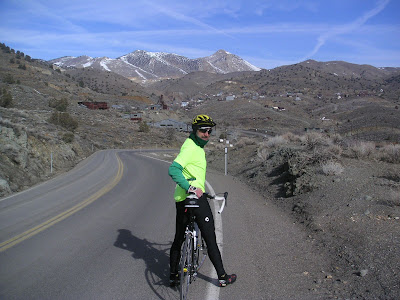
Route Map