
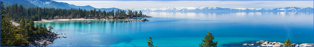
Carson Valley/Diamond Valley/Jacks Valley
Carson Valley Century
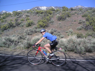
This is one of many possible century rides that can be done in the greater Carson Valley area. With 100 miles and about 5,500 feet of climbing, this route includes Foothills Rd., Diamond Valley, an out and back to Turtle Rock, the Pinenuts, East Valley Jacks Valley and Kingsbury Grade. There are many places for water and food. Start anywhere along the loop and go either direction depending in winds.
Route Map
Diamond Valley Loop
The Diamond Valley Loop, by itself or as part of any number of routes is perhaps the most popular local valley ride. Go any direction, substitute Emigrant Trail, start anywhere along Foothill Rd to make it what you want. Except after a heavy snow, it can be ridden year round. Scenic, low traffic and about 1,100 ft of moderate climbing from the "Big Trees" start shown here. There is no need to use busy Hwy. 88 on this ride.

Route Map
Eagle Ridge Climber
This is an excellent close to home hill repeater especially in the winter and in the cool of a Summer evening. Each outer loop plus the spur to the water tank gives 400+ feet of climbing with grades up to about 15+%. Do any combination of loops, out and backs or figure 8's till you drop. Watch for gravel on smooth pavement. Jones Canyon just to the north offers similar climbing but will eventually be a closed gated community. Food and water a mile or so south in Genoa.
Route Map
East Valley Road
Start anywhere, go either direction or use East Valley to connect to other routes. Generally light traffic and close to town makes East Valley a quick way to get in some relatively flat miles. About 300-500 ft of slight inclines in 20 miles
Route Map
Emigrant Trail/Diamond Valley Trainer
Starting at the base of Emigrant Trail on Foothill Rd, this is an excellent trainer when the snow flies higher up or an early morning summer trainer. Up Emigrant Trail to 88, down Carson River Road. Turn right at the bottom and go up the double hump on Diamond Valley to Hwy 89. Down 89, 88, Carson River Road and Foothill to the start. Do as many as you can. Each cycle provides about 1400 feet of climbing
.
Route Map
Foothill Road
A popular route for all kinds of cyclists. This route can start anywhere along the way. Do as much or as little as desired. Ignore the spikes in the MapMyRide profile if you look at it. They do not exist. There are many small moderate inclines that do add up but this is not a climbing ride. The road carries some traffic between Genoa and Mottsville LN with little shoulder in places. The southern parts are most popular and the Diamond Valley loop can be added at that end for a little more climbing. There is water and food at Genoa and water at the school on the south end
.
Route Map
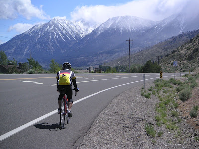
Kingsbury/Spooner Loop
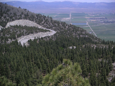
There is a lot to not like about a route that could be really nice. The Kingsbury Climb and descent is fine. The route on Hwy. 50 is in heavy traffic with either no shoulder, a rocky debris filled shoulder and a tunnel with no shoulder. The descent down Hwy. 50 to the valley is in heavy traffic with a shoulder that has very dangerous drain grates forcing the rider out into the lane. A counterclockwise direction avoids the Spooner descent. The climb and descent of Clear Creek is excellent and the rest of the ride is fine. Lots of mountain scenery and climbing made less than great by poor roads and heavy traffic. About 4600 feet of climbing over 57 miles.
Route Map
Pinenut Long Loop
When the wind blows or when it is cold this can be good way to get in a few miles. Start anywhere, go either direction. Pinenut Rd can carry some garbage truck traffic so many go clockwise to avoid a slow ascent. An excellent evening or morning route in he summer too. About 600-700 ft per 16 mile lap.
Route Map
Pinenut Short Loop
When the wind blows or when it is cold this can be good way to get in a few miles. Start anywhere, go either direction. Pinenut Rd can carry some garbage truck traffic so many go clockwise to avoid a slow ascent. An excellent evening or morning route in he summer too. About 400-500 ft per 10 mile lap.
Route Map
Saturday Morning Show and Go
The traditional Saturday Morning Ride starts at Big Daddy's Bike Ski and Board on 395 in Gardnerville and loops around Carson Valley for 50 miles with many convenient bailouts for a shorter ride. The actual route, distance and pace is determined by those who show. The terrain is moderate staying in the valley and foothills. There are many opportunities for water and food. This is a seasonal ride, March-October, so watch for its spring start date on the ride board. Call or email Keith at Big Daddy's for start date, times and conditions. 775 782-7077 barthart99@aol.com
Route Map